Master Cartographer
April 2015 - Nov 24, 2024 16:27:49 GMT
|
Post by syzygy on Mar 2, 2018 11:12:04 GMT
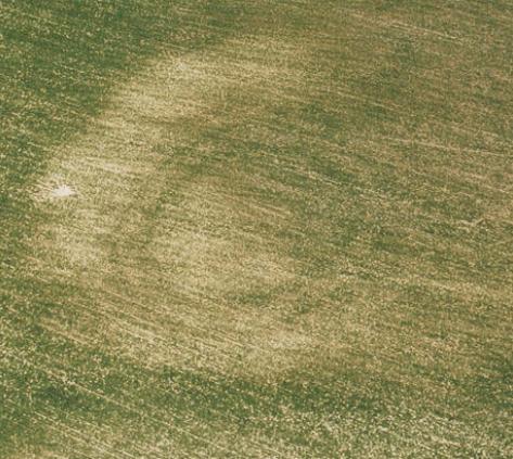
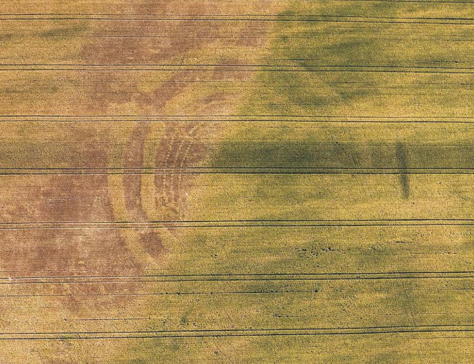
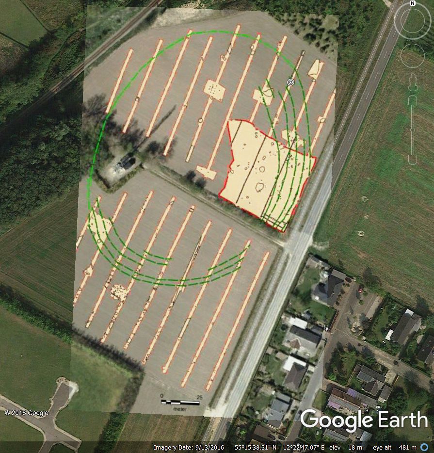
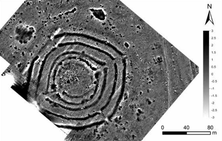
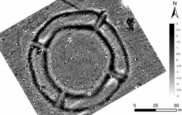
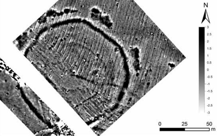
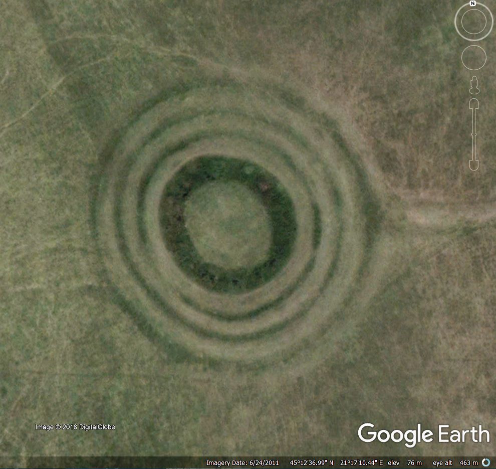
And some not that old... Not long ago I have bumped into an article about these ancient, built structures (older and much more bigger than Stonehenge) and could not calm down until some acceptable kmz attachment done. Content would also fit my "general" archaeology collection, ending I have decided that these deserve their own thread. Also here need to be mentioned another thread of mine with quite a similar title: Prehistoric Enclosured Settlements where I try to locate sites with primary settlement functions and not (only?) cultic/astrometrical artifacts as it stands by these. By every site I try to find proper GE aerial imagery date for best viewing results, add overlay (not only) where it needed. 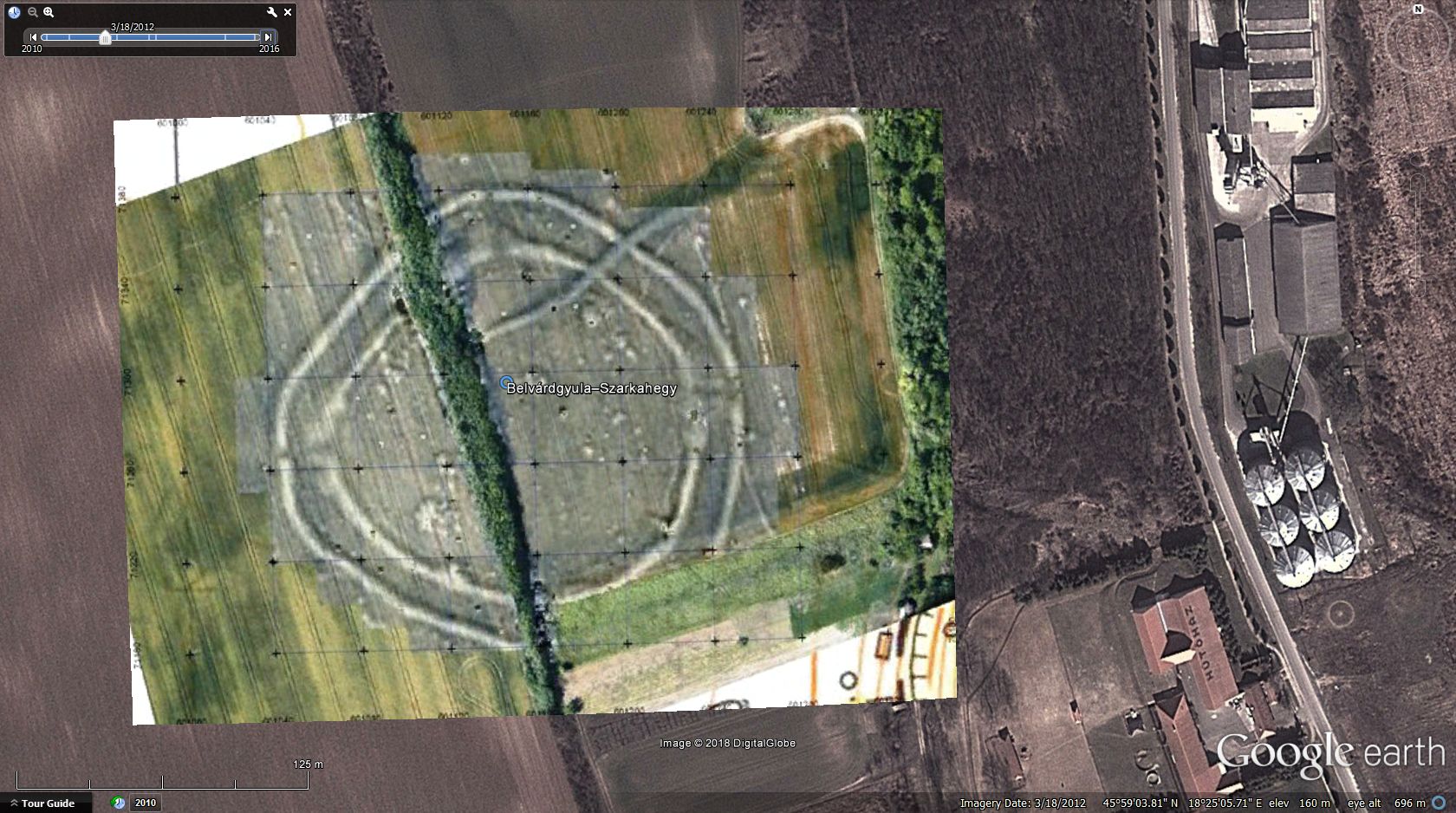 Szemely-I. enclosure, where diameter of the inner circle is about the same as the outer, earthen ring of Stonehenge(!) 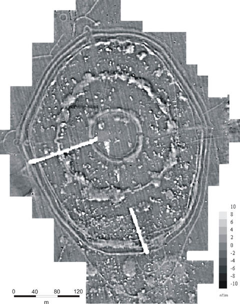 image source image source*** By last update: 176 placemarks (+6 suspicious sites) and 34 overlays (off as default) for sites from 15 countries in attanced kmz folder. KMZ download: >>> Prehistoric Circular Enclosures.kmz (39.93 KB) Placemark color legend:
- white: Neolithic Age
- orange: Chalcolithic Age
- brown: Bronze Age
- red: Suspicious Sites
(This latter three counts only a few marks and shall be excluded anytime.) Attached kmz file only available here on the every-time "Live" GE Community Forums, which is now self-sponsored.If You make good use of this dataset, please donate our community! Thank You!
|
*** (some of my) sources: fejerszovetseg.blogspot.hu // files.archaeolingua.hu (PDF) // magyarostortenet.gportal.hu // oldwww.mageof.hu (PDF) // researchgate.net // astrosim // writeopinions.com // de.wikipedia // iaepan.vot.pl (PDF)(Good (hungarian language) read on subject and more: Határtalan Régészet 2018/IV _.PDFAny further info on these or on other sites, generally all related contributions welcome! Thanks! g Last update: 2024.01.18. ______________________________________________________________________________________ Related from board: Prehistoric Enclosured SettlementsAncient Saudi Stone StructuresMy archaeology collectionMounds of (the) Earthall archaeo threads by archaeo, Related from oGEC: (All have been erased from the web by Google in April 2019) Placemark-thousands of The Megalithic Portal guide to 25000+ ancient sites worldwide by Andy Megalithic, Neolithic sites in Arabia and East Africa by KenGrok Neolithic Monuments of the Sahara by KenGrok Historical Atlas of Eurasia by RWFG
Art of the steppe nomads by Villaman The frozen tombs of the Altai by Belizarius North American Archaeology 2013 by deansnow |
|
Master Cartographer
April 2015 - Nov 24, 2024 16:27:49 GMT
|
Post by syzygy on Mar 26, 2018 13:07:44 GMT
Only bump this posting because Slovakia, Czechia and Germany subfolders have begun to dilute with "Need to fix location" placemarks and would need some help with these. (EDIT: most of the Slovak and some of the Czech placemark locations has been fixed) some examples from this latest update: sources: www.iaepan.vot.pl/ap2015 (PDF) // or // researchgate.net/Martin_Kuca/ (PDF)Browsing subfolders you might find (only a few) other marks that would need to be fixed. Updated kmz file attached to OP. |
|
Master Cartographer
April 2015 - Nov 24, 2024 16:27:49 GMT
|
Post by syzygy on Apr 5, 2018 13:04:38 GMT
Placemarks for +18 enclosures with clearly visible soil- or cropmarks on GE imagery in the new kmz subfolder of Croatia. 8 of those are described as neolithic circle enclosures built by people of the Sopot Culture. 4 examples (Čepin, Korođvar, Tenja, Brođanci): 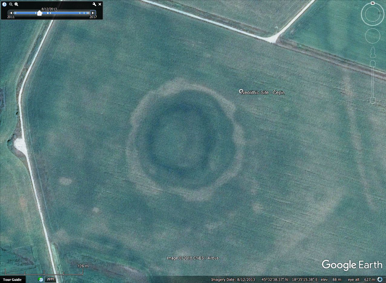 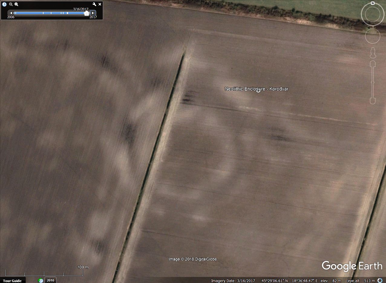 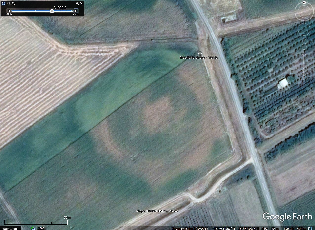 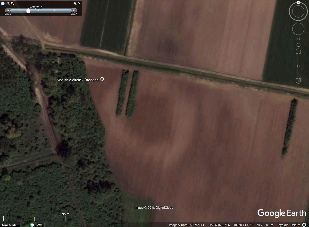 ____________________________________________________________________________________ below I quote source: Abstract of publication by Bartul Šiljeg and Hrvoje Kalafatić at researchgate.net Based on their overview map, I have spotted 10 further, similar features browsing GE imagery. Until one says, that these are not neolithic, I leave placemarks in this collection. An example: 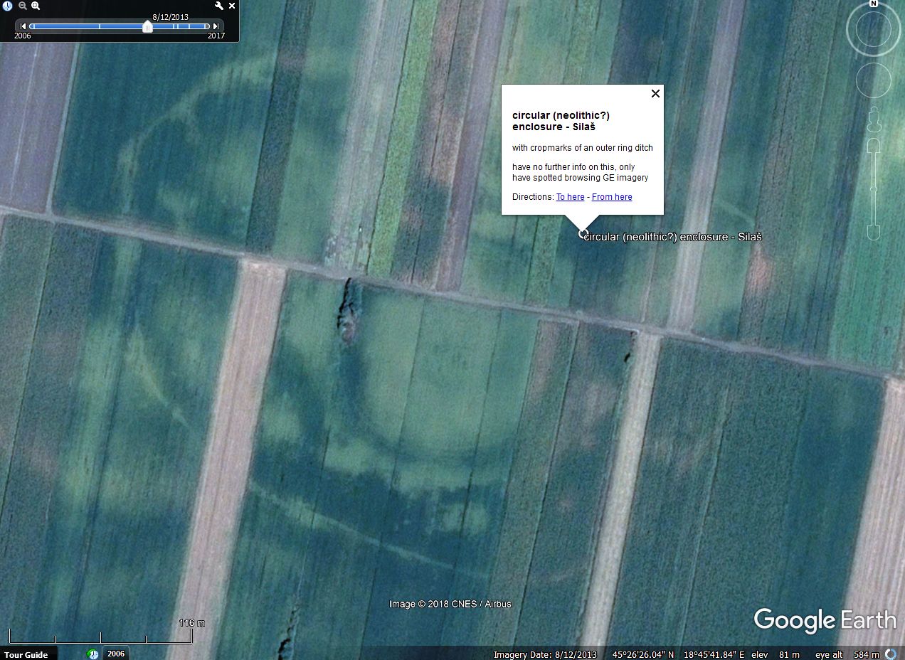 _____________________________ Updated kmz file attached to OP. |
|
Master Cartographer
April 2015 - Nov 24, 2024 16:27:49 GMT
|
Post by syzygy on Apr 9, 2018 11:09:05 GMT
|
|
Master Cartographer
April 2015 - Nov 24, 2024 16:27:49 GMT
|
Post by syzygy on Apr 11, 2018 9:42:10 GMT
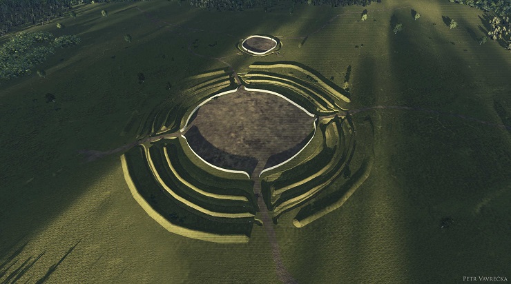
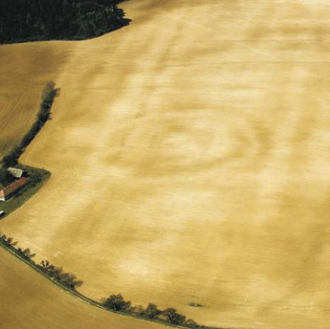
soil mark slightly visible by best-set GE imagery date, so site got an overlay (off as default) too: 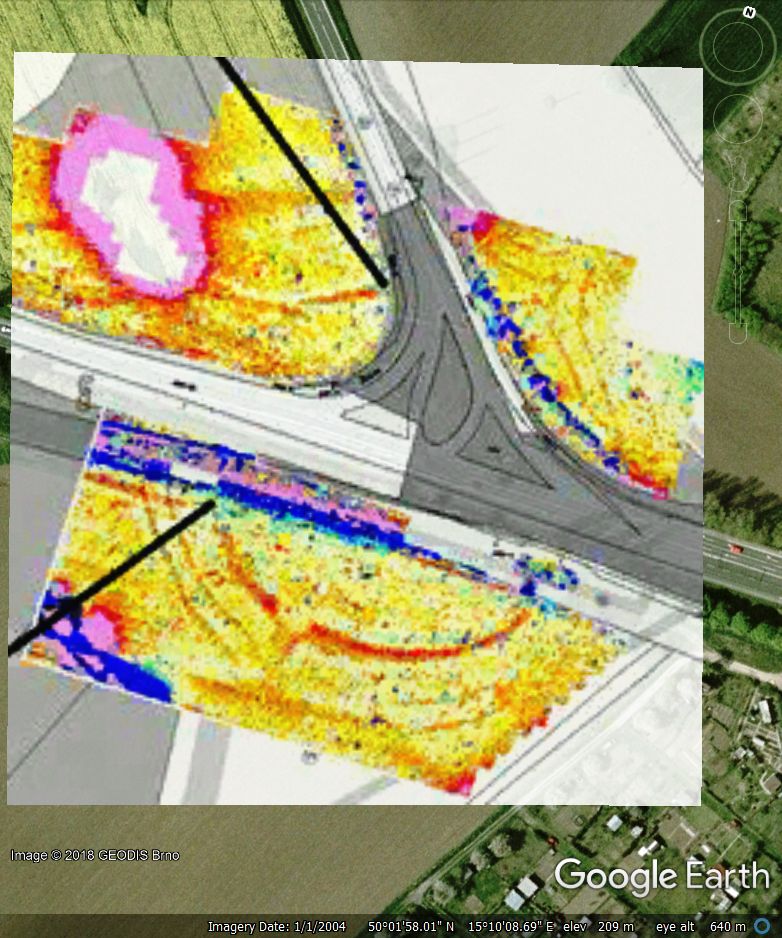 also pretty cool 3D model of the roundel(s) were available: __________________________ updated kmz file attached to OP. |
|
Master Cartographer
April 2015 - Nov 24, 2024 16:27:49 GMT
|
Post by syzygy on Apr 16, 2018 11:36:18 GMT
|
|
Master Cartographer
April 2015 - Nov 24, 2024 16:27:49 GMT
|
Post by syzygy on Apr 18, 2018 8:23:33 GMT
|
|
Master Cartographer
April 2015 - Nov 24, 2024 16:27:49 GMT
|
Post by syzygy on Apr 19, 2018 7:02:11 GMT
the time has come I needed to edit title as besides neolithic- also circular enclosures dated to the chalcolithic have been included by this update. ( orange circle placemarks) following quite good source blog I have managed to locate 6 objects of which 5 dated to the chalcolithic age. (example screenshot with kmz folder structure below) 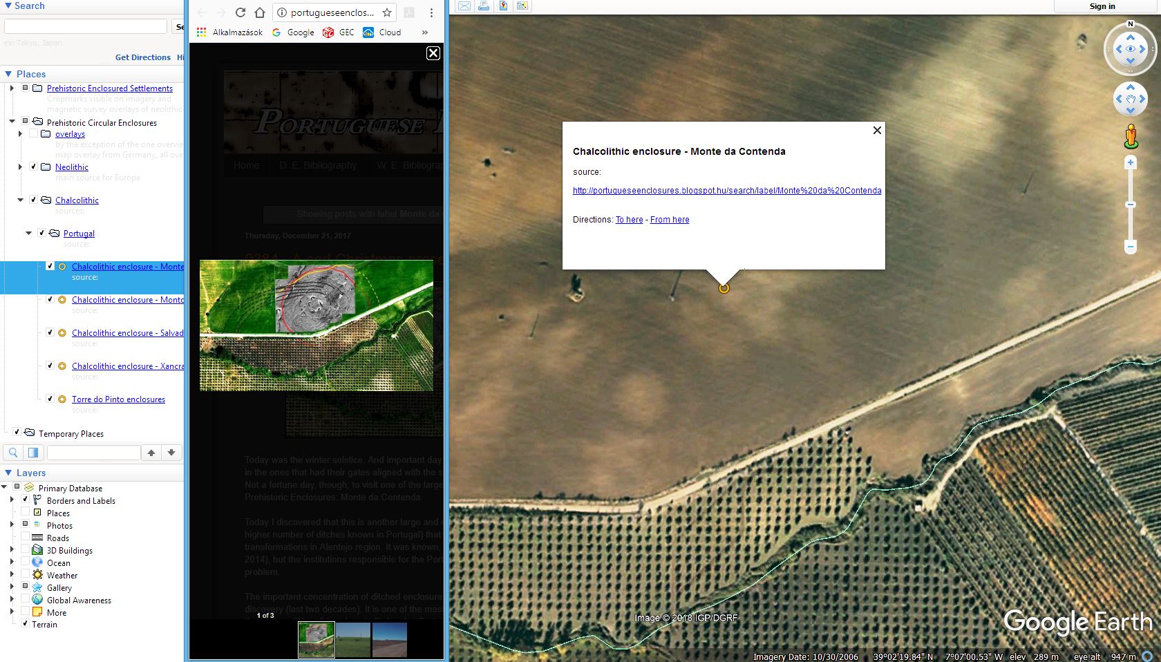 furthermore ' Bronze age' and 'UK' subfolders have been born. ( brown circle placemarks) One day I plan to exclude there, until that updated kmz file attached to OP. |
|
Master Cartographer
April 2015 - Nov 24, 2024 16:27:49 GMT
|
Post by syzygy on May 7, 2018 13:11:21 GMT
Have found a good source* with useful kmz, so as all site positions could now be fixed and some more added to Neolithic/Slovakia subfolder. Two examples:
Budmerice (Gidrafa) Suchá nad Parnou (Szárazpatak) Suchá nad Parnou (Szárazpatak)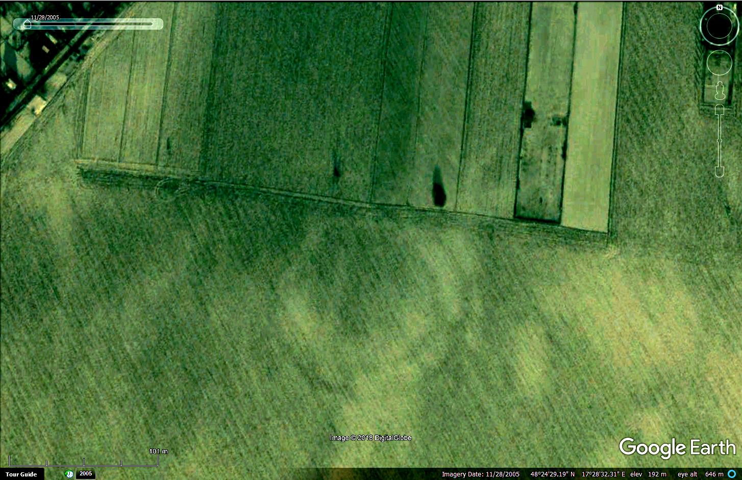 * Article (Sk) by Ivan Kuzma also describes a rare glitch of imagery processing which must not be neglected browsing GE satellite imageries. -------------------------------------------------------------------------------- Awesome 3D model (kmz) of Svodín enclosure available HERE!my updated kmz collection is attached to OP. |
|
Newbie
July 2018 - Jul 30, 2018 20:13:56 GMT
|
Post by parta on Jul 16, 2018 17:38:50 GMT
|
|
Newbie
July 2018 - Jul 30, 2018 20:13:56 GMT
|
Post by parta on Jul 16, 2018 17:48:15 GMT
thats at the bottom of the alibunar morass which supposedly had been a lake from the end of the ice age until it was drained during the era of photography. note the parallel lines called the furrow of novac that the causeway from this rondel intersects with   and the huge enclosure that overlooks it from the deliblatska seems to be the prototype for the architecture of the british neolithic with there cursus and rondels |
|
Master Cartographer
April 2015 - Nov 24, 2024 16:27:49 GMT
|
Post by syzygy on Jul 18, 2018 6:36:02 GMT
Hi and welcome parta! thank you for interesting additions! do you happen to know some sources for the one at Vinga? - was there any exploration works you know about? (dating?) also you might be interested in other misc. spottings of mine I store there until exact ID. most interestig for me would be the one by Aurélháza at >>45.668132°, 20.923356°<< / (imagery date: 10/30/2013) -any info on this? thanks and all the best! g |
|
Newbie
July 2018 - Jul 30, 2018 20:13:56 GMT
|
Post by parta on Jul 23, 2018 21:04:12 GMT
the excavation at vinga was on the hilltop just to the northwest of the rondel. they found a megaron. the megaron was within a star-shaped fortress which encircled the whole area [minus the rondel].  they also found a mammoth tooth. the aurélháza site is very near the famous tell at uivar but also a turkish fortress mapped by the hapsburgs which defended the approach to timisoara. personally i think its a port structure related to the super massive [1800 hectares] bronze age village at cornesti. peace |
|
Master Cartographer
April 2015 - Nov 24, 2024 16:27:49 GMT
|
Post by syzygy on Jul 25, 2018 14:35:59 GMT
thanks further clues parta! now I ask you here whether you know some about some other sites, but please answer in their own forum-thread! (placemarks for the locations below, also attached there) 47.484096°, 22.264718° 47.653817°, 22.330298° 47.717909°, 22.493567° all by GE imagery date 5/22/2016 and a last one for now: 45.526039°, 20.872254° by imagery date 5/23/2016 thanks in advance, hoping you still around! g |
|
Newbie
July 2018 - Jul 30, 2018 20:13:56 GMT
|
Post by parta on Jul 26, 2018 14:17:12 GMT
the other topic seems very formal. your ciumesti site is where the famous celtic bird helmet was found. maybe that is his home. 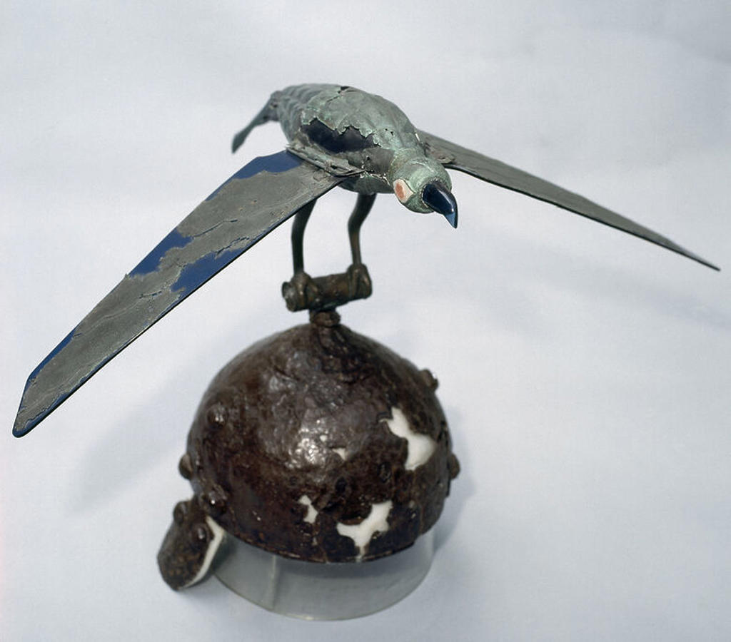 foeni is the type site of the foeni culture. and the rondel with the huge ditch looks to me like an early medieval gord  here another 1 for you. fortress - look left of the farm on the left to see the 4th wall and note its strange starish shape. investigator says its bronze age at the latest watch out for the great avar ring [maybe vinga?]  |
|
Master Cartographer
April 2015 - Nov 24, 2024 16:27:49 GMT
|
Post by syzygy on Jul 27, 2018 7:12:59 GMT
thanks put these right, and for the one by Giurgita with really breath-taking outskirts! I have outlined main ditches (line feature set in 'overlays, outlines' subfolder /off as default/) also put a mark to the bronze-age subfolder (updated kmz attached to OP).  --- sorry I am no expert and only have heard about Vinga site as hou have mentioned... no sondage or any fieldworks have been done you know about? -any further info would be interesting! would you please give some other source for the "great avar ring" you try to find? (source of the alamy.photo or other -written- sources?) all the best! avar-bro (: p.s.: what do you mean under my other topic seems "formal"? |
|
Newbie
July 2018 - Jul 30, 2018 20:13:56 GMT
|
Post by parta on Jul 27, 2018 19:13:34 GMT
it is formal in that i think i might mess it up. i feel i sort of have messed this one up a bit. not so good with the tools am i. the story the great Ring [from the monk of saint gall]: i used to fancy attilas tomb being in the mures river at arad. its a really easy place to divert a pretty big river and plant a tomb in the river bed. peace ps. i have a few more killer sites and i will learn to use the tools. |
|
Master Cartographer
April 2015 - Nov 24, 2024 16:27:49 GMT
|
Post by syzygy on Jul 30, 2018 6:36:31 GMT
ugh, thanks! next time a simple link to source page (with a shorter quotation highlighting the essence) would be fine! (also by now you can edit your reply) (btw, every time you should to give link to source URL in your contributions. / if it is from a printed book (no URL available), then I usually give ISBN number as credit, besides title and author of course) very interesting things you know about parta! glad to see you around! waiting for further additions to these forums by you!* best! g *until that: do you happen to know some about these in Hungary: (two more other suspicious locations from my misc. archaeological findings post.) 47.437725°, 17.146390° 46.058080°, 18.484552° ... i have a few more killer sites and i will learn to use the tools. just cannot wait, any "tools" you must to deal with and anyhow you mean "killer site"! (; |
|
Master Gamer
April 2018 - Nov 24, 2024 20:52:31 GMT
|
Post by willi1 on Aug 13, 2018 0:08:29 GMT
The Neolithic village Passo di Corvo (Crow's Pass), with its 40 hectares, is one of the largest and oldest in Europe, dating from the sixth to the fourth millennium BC. It was discovered more by chance in aerial photographs of the Royal Air Force in 1943. The excavations carried out in the post-war period have brought to light one of the largest entrenched villages of the Tavoliere, inside which some "C" ditches have been discovered, used for the drainage of the land around the individual houses, traces of wells for the collection of the 'water, of various housing units with related objects related to daily life and worship. These findings, together with the acquired knowledge, have allowed the scholars to reconstruct on a real-scale site of the activities of the families who lived here between 6000 and 5000 years ago. The archaeological area is considered by the scholars to be the cradle of agriculture in Italy, arrived from the populations of the Middle East, who exploited the fertility of the Tavoliere.
Attachments:Passo di Corvo.kmz (700 B)
|
|
Master Cartographer
April 2015 - Nov 24, 2024 16:27:49 GMT
|
Post by syzygy on Aug 21, 2018 7:18:37 GMT
The Neolithic village Passo di Corvo (Crow's Pass), ... Many thanks for great neolithic site 'Crow's Pass', soon I will add also to Neolithic Settlements thread!Since I have spotted a rondel-like structure within boundaries of the neolithic settlement, your contribution fits also this one! 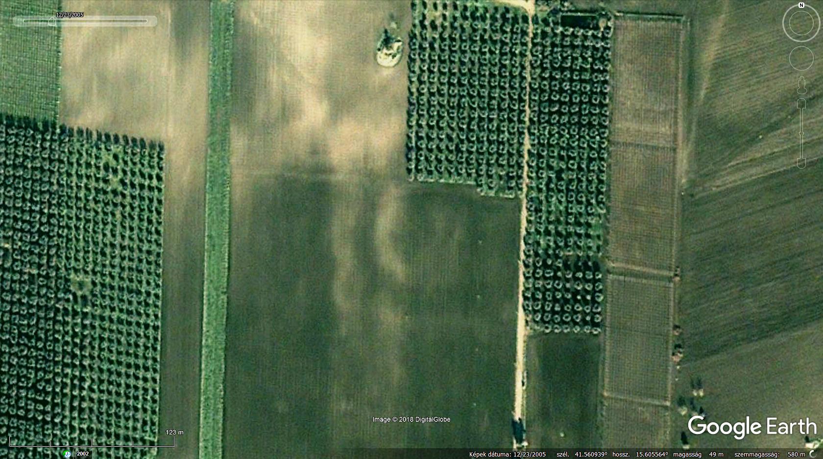 check rondel by coordinates >>41.560833°, 15.605671°<< at imagery date 12/23/2005 placemark for the object has been added to updated kmz file, attached to OP. |
|
Master Cartographer
April 2015 - Nov 24, 2024 16:27:49 GMT
|
Post by syzygy on Sept 27, 2018 11:40:08 GMT
not long ago I happened to peep into the Melichar-Neubauer Catalogue, so could update Neolithic/Austria folder with 10+ placemarks.
(also 2 more from Slovakia -both visible on imagery- by another source - reference given in kmz)
placemarks set to best-view imagery dates, by next update overlays will be included as well.
updated kmz file attached to OP.
|
|
Master Cartographer
April 2015 - Nov 24, 2024 16:27:49 GMT
|
Post by syzygy on Nov 23, 2018 10:17:41 GMT
3 more from the Czech Republic have been placemarked, one overlay also added. (145 marks, 32 overlays by now)  Mohelno “Šibenice field”. The rondel of the Moravian Painted Ware Culture, phase Ia. Mohelno “Šibenice field”. The rondel of the Moravian Painted Ware Culture, phase Ia. ( source) *** updated KMZ file attached to OP. |
|
Master Gamer
April 2018 - Nov 24, 2024 20:52:31 GMT
|
Post by willi1 on Nov 26, 2018 13:32:54 GMT
Belleben (Germany, Saxony-Anhalt) has several neolithic circular enclosures. Belleben 1 and Belleben 2 date from the late phase of the Baalberge Group and were dated
by radiocarbon dating to 3640-3370 cal. BC. The plants were superimposed by Bronze and Iron Age settlements. Belleben 3 was classified late Bronze Age (about 1420-970 cal. BC). The Lodderstedt 1 site was recently discovered and has not yet been archaeologically documented, but it is believed to have originated in the Early Neolithic. Other Neolithic settlements (Belleben 4, Gerbstedt) are suspected, but are not yet localized. (Overlay source monument.ufg.uni-kiel)
Attachments:Belleben.kmz (173.55 KB)
|
|
Master Gamer
April 2018 - Nov 24, 2024 20:52:31 GMT
|
Post by willi1 on Dec 6, 2018 13:55:35 GMT
This neolithic circular enclosure near Schönebeck (Saxony-Anhalt, Germany) comes from the Early Bronze Age Aunjetitzer culture. By means of radiocarbon method they could be dated to 2150-1740 cal. BC. In the historic layer from GE can bee seen the excavations for exploration of the plant. For 2019, a reconstruction of this system analogous to that of Pömmelte (included in the KMZ collection) is provided. Pömmelte is only about 1300 meters away.
Attachments:Schnebeck.kmz (766 B)
|
|
Master Cartographer
April 2015 - Nov 24, 2024 16:27:49 GMT
|
Post by syzygy on Feb 25, 2020 22:05:35 GMT
Not only the two more rondels from Portugal (with overlay), but some new spottings from Africa, which are present some similarities with them made me doing this update reply. 'sinuous rondel' from Portugal: 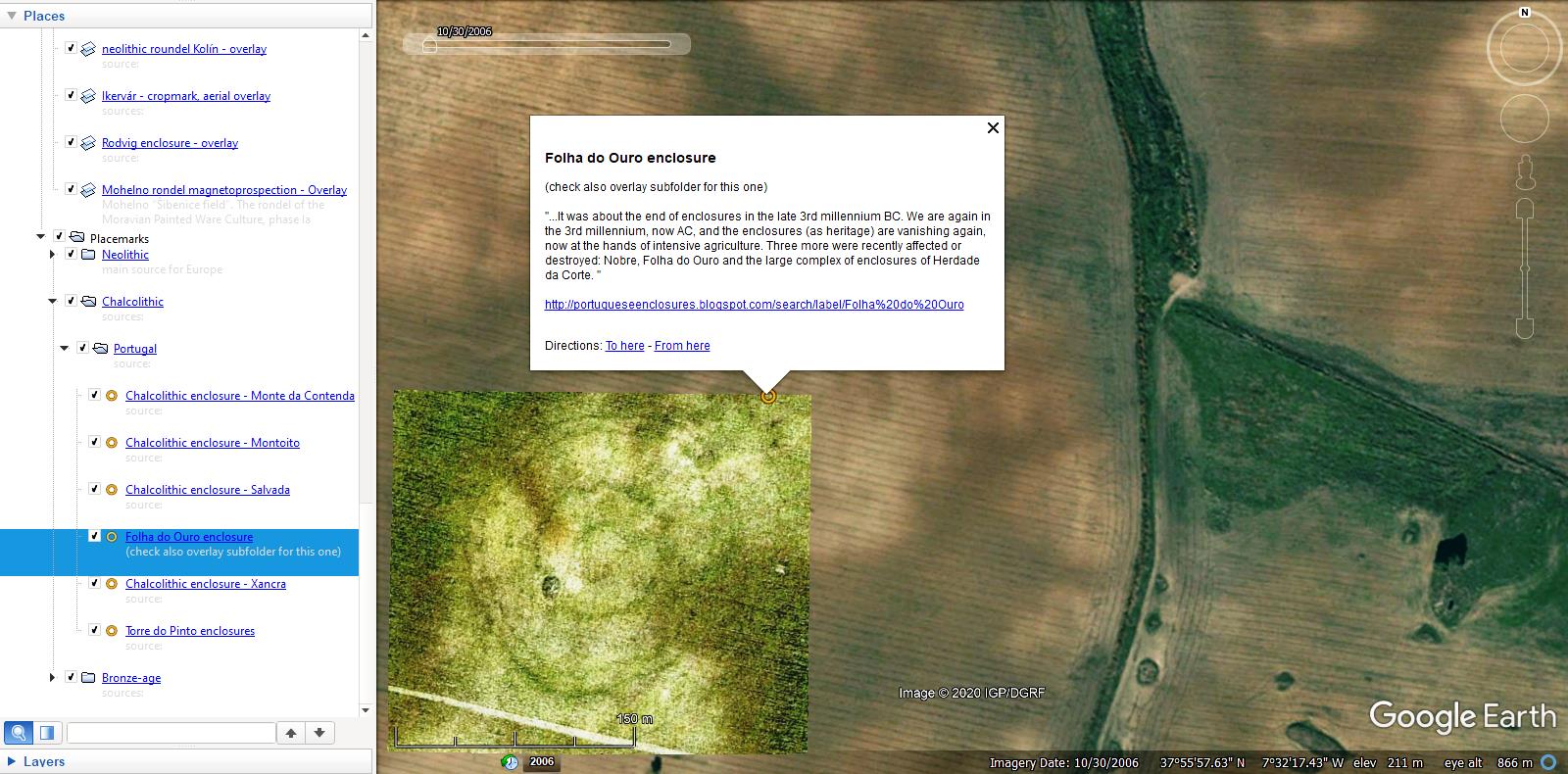 sinuous rondel (?!) from Africa:  Updated kmz attached to OP. - (For African rondelloids click on 2nd link above! - Until we have no further info about these I keep them excluded from this collection.) |
|
Full Member
November 2015 - Nov 27, 2015 21:55:18 GMT
|
Post by archaeo on Oct 5, 2021 14:28:14 GMT
When was the main KMZ file last updated?
I've switched to KML almost exclusively. I now edit the KML files in a text editor so I have complete control of the code. With my own domain, jqjacobs.net, I can easily host images, so no KMZ required. It is quite handy to have a KML open in a text editor with search, find and replace, and other such functions.
|
|
Master Cartographer
April 2015 - Nov 24, 2024 16:27:49 GMT
|
Post by syzygy on Oct 5, 2021 14:57:20 GMT
When was the main KMZ file last updated? ... Was a long ago, at 23.Mar.2020. By that time it was pretty complete, now an other look-around is should to be done... Yep - by big amount of data it is much easier to handle KML databases with a text editor. By this one and others with quite a small number of placemarks and overlays I stay in GE kmz editor panel. Of course broken (image) links would have to be revised periodically - pain, I have not that amount of free time besides my office duties to keep searching for such errors simultaneously all in my collections... |
|
Full Member
November 2015 - Nov 27, 2015 21:55:18 GMT
|
Post by archaeo on Oct 5, 2021 16:08:16 GMT
I feel my time isn't going to go to waste when I embed images from the Web Archive. Also, Wikimedia Commons should be a stable source, so I use it directly. You can add pages to the Web Archive as needed.
|
|
Master Cartographer
April 2015 - Nov 24, 2024 16:27:49 GMT
|
Post by syzygy on Apr 21, 2022 9:37:30 GMT
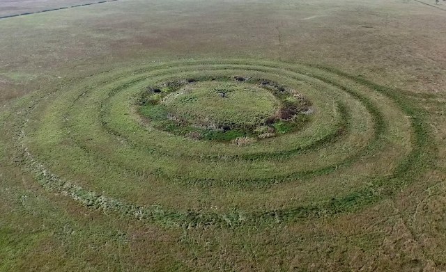
By this update I have added a new folder. Without any further comments, these are suspicious rondel-sites with no informations I could dig up so far about them. Example site:  Kurgan group with rondel-like concentric structure around the main tumulus, that also can be a "simple" multiple ditch system, built with the mound itself. It would be uncommon, still it is conceivable... Opening kmz, you find this set of placemarks as red circles. -- Updated kmz file attached to OP.Note: Some (all) of these might be found in other placemark sets as well, e.g. in the "burial mounds-" or "my archaeology" collections. |
|
Full Member
November 2015 - Nov 27, 2015 21:55:18 GMT
|
Post by archaeo on Jun 2, 2023 2:49:29 GMT
|
|





 _
_ _
_ _
_