Newbie
December 2021 - Jan 4, 2022 13:32:38 GMT
|
Post by clt2cledrew on Dec 28, 2021 14:31:18 GMT
Ok, so I can't find anyone anywhere who has ever done this so I'm down to this forum as my "last hope" that this can be done. Here's what I'm trying to do.
I know that Google Earth on desktop is the only way to see historical images (that I assume were once the default images for Google Maps), but is there not any way to pull a certain historical image and use it with current GPS location? All I want is to be able to see me (as the little blue dot) on Google maps with an older image. It just seems odd that is was once the image used for this, and now it cannot be used somehow. Surely there is a "hack" or some software or app out there that allows this, right?
PS, I do know how to transfer KML files and get them to "my maps" in order to get certain "points" or "shapes" overlaid on the current images used, but I'd prefer to just have the older image if possible.
Thanks in advance for any assistance! Drew
|
|
Master Cartographer
April 2015 - Nov 26, 2024 22:38:11 GMT
|
Post by syzygy on Dec 28, 2021 15:27:04 GMT
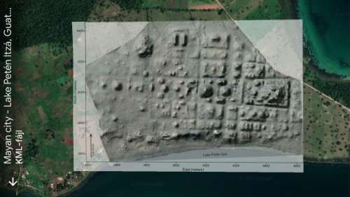
Hi & welcome! Image overlays are okay on phone GE:  Or have I missed something? |
|
Newbie
December 2021 - Jan 4, 2022 13:32:38 GMT
|
Post by clt2cledrew on Dec 31, 2021 3:58:55 GMT
My problem is I can't get that overlay image onto my phone GE or Google Maps. I can build it and save it on the desktop version, but then when I try to transfer it then it just doesn't show up. I'm just shocked you can't somehow, somewhere, choose which satellite imagery you want to use in conjunction with current GPS. I'm trying to use this when fishing on a lake and I'd prefer so see myself on the water in real time with the satellite imagery where the lake is at its lowest point so I can see boulders and trees in the water that you cannot see on the current imagery of Google Maps because the water level is either higher or stained. Any other ideas are appreciated and thanks for responding!
|
|


