Junior Member
September 2021 - Sept 23, 2024 14:04:01 GMT
|
Post by buildsancient on Oct 4, 2021 13:56:33 GMT
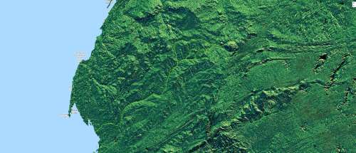
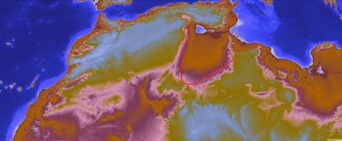
Hi all. When I have a crazy idea, I like to share it. Now, for the past year I was lazily mapping out the ancient rivers of Africa. If I could figure out a way of exporting from Google Earth Engine into Google Earth, I would show you the rest of the Tamanrasset river system. Instead a picture will have to suffice for the moment:  Before I continue, please take the time to get a rough idea of my KMZ. Ancient Africa.kmz (116.38 KB) I know It's not much, but like I said I was being lazy. While mapping out that lake above the Richat one drunken evening, I had a bit of a crazy idea. (Hold tight) What if... Considering that the Richat is a dead hydrovolcanic structure; It had a vast aquifer under it? We could plant trees in the Richat and perhaps restart the hydrological system that fed the Tamanrasset? The rain would pool on the plateau above, and refill the lake. And then of course I woke up later. "Trade winds go southwest you idiot", and "The water would be **** anyhow." But... After doing a bit of work on Earth Engine today I thought about something. Look at this:  How much water used to flow into this area off the mountains? By rights, it should have been extremely verdant. The trade winds MUST have brought that moisture up over the mountains, filling up the lakes to the SW behind. So what happened? Was it just Earths wobble or something more? If you had an agricultural community living here, it would have devastating knock on consequences were they to clear the land. It's just an idea, but keep your eyes peeled. |
|


