Post by washi on May 3, 2015 1:42:06 GMT
I have been aware of the Beautiful Earth for some time, and have been very appreciative of it. It's difficult to appreciate the earth as whole and one when it looks like it has been stitched together by a Dogpatch quilting bee. I became aware of just how much I appreciate it as I was working on a file that involed moving among placemarks that all have been time stamped.
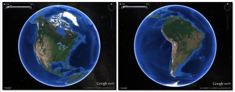
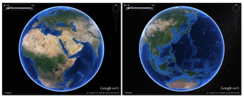
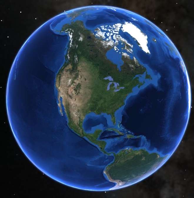
You may have know about it all along, but I only discovered the Gorgeous Earth when I was trying out a clue for a puzzle posted by Hill. If one zooms out to a very high altitude and sets the time stamp as far back as possible, the patchwork disappears and replaced by an image that is clear, rich, and vibrant. It is obviously not a photograph, but a map overlaid over the entire globe.


This view not only looks great, but is potentially quite useful in understanding gross structures like trenches, sea mounts, and ridges, and land features like mountain ranges, deserts, and ice caps.
For me, it seemed a way that I might get rid of some of the ugliness in the post I'd been working on. My revision works for me, although the old, ugly way is also still available.

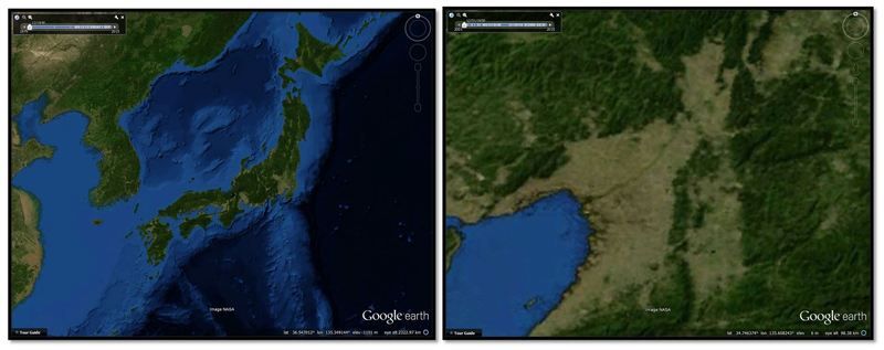
One thing worth noting: as you zoom in the resolution does not improve, and the map becomes as ugly as the skin on a Brobdignagian's nose.
Just as aside, I've been working on an experiment to see if one of my favorite feature in KML which works fine in HTML can be made to work in BBCode. So far, I haven't been able to make it work, but I am not sure if it is because there is a flaw in my code, or if it just can't be done. If you're interested, my experiment is going on over HERE.


 1930 imagery only
 All imagery but high altitude view.