Newbie
January 2021 - Jan 30, 2021 23:00:00 GMT
|
Post by bdaustralia on Jan 30, 2021 13:54:24 GMT
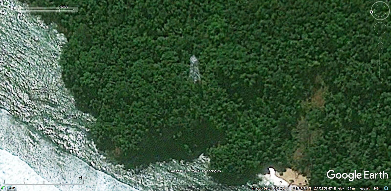
Does anyone know what this is? Has been bugging me for years.
1°39'47"N 127°28'53"E
|
|
Master Cartographer
April 2015 - Dec 4, 2024 7:21:40 GMT
|
Post by syzygy on Jan 30, 2021 15:36:00 GMT
Hi and welcome! Good spotting! On some of the historical imagery frames, light structure tower (radio- or navigation lights(?)) can be seen. One of the best views I could provide with desktop GE:  Hope this helps to regain your comfort! ( : Best! G |
|
Master Gamer
April 2018 - Dec 3, 2024 20:45:44 GMT
|
Post by willi1 on Jan 30, 2021 20:37:28 GMT
On some of the historical imagery frames, light structure tower (radio- or navigation lights(?)) can be seen. On Pulau Sitanga there is a lighthouse with white flashing fire (every 3 seconds, visible for 18 miles) for sea navigation. Could fit.
And: Welcomte to the forum, bdaustralia  |
|
Newbie
January 2021 - Jan 30, 2021 23:00:00 GMT
|
Post by bdaustralia on Jan 30, 2021 22:58:07 GMT
Thanks for posting that view.. much clearer! Still very odd place for it! How does one post images in this forum?
|
|
Full Member
January 2020 - Jan 5, 2024 10:40:59 GMT
|
Post by leong on May 2, 2021 6:04:56 GMT
Is it an odd place for a lighthouse ?
Its an island in the tropics, so they avoid putting the light on the hill nearby. Why ? because the light will more often be covered by cloud/fog/mist/rain there, even if its at the same height as the light on the tower at the coast The moist air being forced up the slope will cool and produce condensation...
Also the hill tends to be unstable and difficult to access/service. trees fall and take out powerlines,etc,etc/
So they don't put them up on the hilltop ? rather found a rocky patch of land with good access from shore.
|
|


