Post by syzygy on Jul 2, 2020 11:56:15 GMT
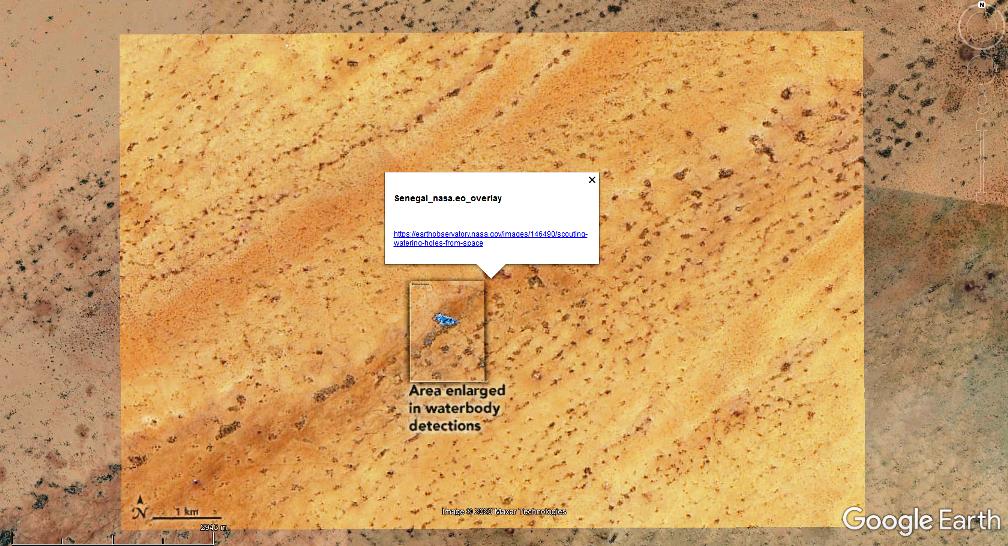
Scouting Watering Holes from Space
Making a living in the Ferlo region of northern Senegal is a constant challenge. With a long dry season and little land suitable for crops, many of its people migrate with seasonal rains as they tend small herds of cattle, donkeys, and goats.
Keeping livestock healthy during the long “lean season”—which typically reaches its height between May and July when rains slow and most watering holes dry up—is particularly difficult. Many herding families move frequently, often every few weeks, to find water.
...
NASA and USAID researchers have developed a web-based tool to help Senegalese pastoralists get through the lean season. The dashboard features a near-real-time water monitoring system based on satellite observations. The system, now being tested and scheduled for release in August 2020, will make it possible for herders to quickly check how much water remains in hundreds of different watering holes in the Ferlo region before venturing to them.
If people have access to the internet, they will be able to log in to the system directly. For those without internet access, aid organizations in the area plan to send updates about the status of key watering holes via text messages and community radio announcements.
The SERVIR team began working on the project in 2017 using freely available data from Landsat 8 and ESA's Sentinel-2. More recently, they have assessed more detailed PlanetScope data from Planet Labs, a commercial satellite company. After analyzing images of hundreds of watering holes throughout 2018, it became clear that Planet Labs observations improved the accuracy of the tool, explained SERVIR scientist Vikalp Mishra.
“There were even some very small watering holes that we could only monitor with high-resolution imagery. Planet Labs has so many operating satellites in its fleet, we were able to get new images of northern Senegal on a near-daily basis.” he said. “Landsat, due to its long history and superior radiometric quality, still offers a critically important perspective because it has observations that show how key watering holes have fared over decades, a perspective you cannot get from any other satellite.” ...
***
More from source: earthobservatory.nasa.gov/images/146490/scouting-watering-holes-from-space
Landsat and PlanetScope kmz overlays attached:
Scouting Watering Holes from Space.kmz (811 B)

