Post by SpiderX22 on May 18, 2020 0:47:37 GMT
Aircraft in Flight
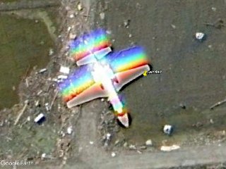
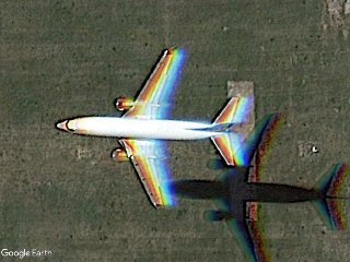
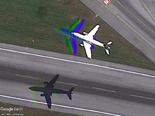
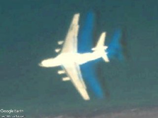
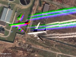
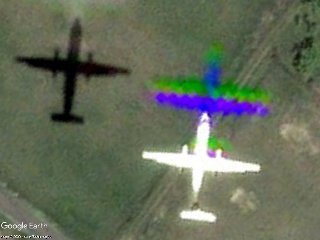
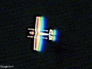
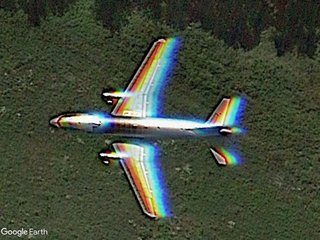
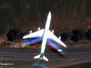
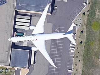
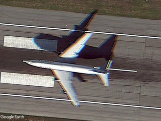
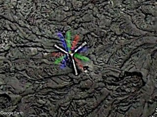
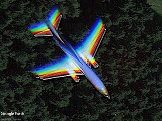
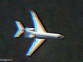
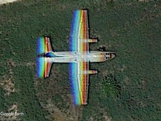
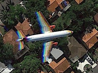
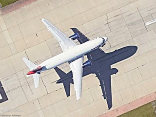
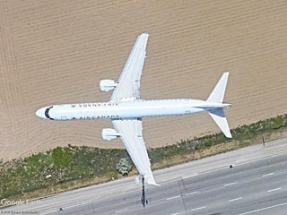
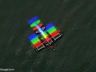
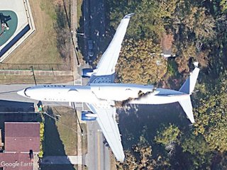
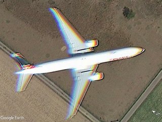
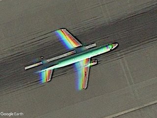
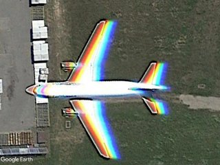
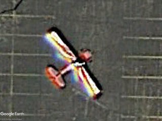
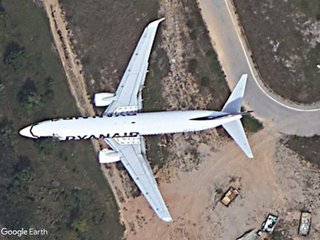
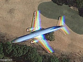
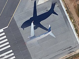
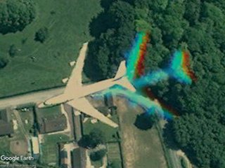
For as long as there has been Google Earth, there have been aircraft spotters - you and I, looking for airplanes in flight in the satellite imagery available - and sharing our finds with each other. First came the Keyhole BBS forums, the original Google Earth Community. In 2006, Cyclonic created the forum thread, "All Aircraft in Flight", collecting aircraft finds from all comers and organizing them into a Google Earth collection.
Unfortunately, the Keyhole forums were closed (set to read-only) in May 2015, and the Google Earth Community, driven by volunteers, re-opened on a new website. Continuing on from Cyclonic's work, NormB resurrected the "All Aircraft in Flight" collection, maintaining it for over a year.
And that's where the collection has sat - forever frozen on March 2016. That is - until now: I, SpiderX22, will be continuing the collection in the future.
Unfortunately, the original Keyhole BBS forum are no longer available, as of 2019. The original forum was hosted on the Google Help forums, and when these forums migrated to new servers, the original Google Earth Community was left behind, with all the wonderful content contained on these servers lost. As such, determining the original finder for some of the placemarks in this collection was difficult - so I apologize if I messed some up.
It is important to note a key difference between this collection and prior collections. Previous collections included ALL Aircraft in flight. I will not do so, for ease of updates and continuity. There are over 20 years worth of imagery in Google Earth (accessible via the timeslider feature), and with over 5,000 planes in flight on a given day, there is no feasible way I can maintain a collection with so many finds. Maintaining the prior databases was a LOT of work - with over 3000 finds to go through and check for outdated imagery, the collections soon grew out of control and stopped being updated.
To maintain my sanity and ensure the collection continues many years into the future, I will be doing two major things. First, I will accept ALL finds that show aircraft visible in current imagery. Secondly, when the find becomes outdated (due to new imagery updates, I will keep only "good" finds, marked by a star (*) after the title of the placemark. When clicked, these files will automatically open the Google Earth timeslider and display the find in the historical imagery.
Obviously, it is subjective as to what is considered a "good" find and what isn't. When determining what to keep, I will be looking at three qualifiers, as outlined below. I will try to be as impartial as possible, but if I did not include your find in the historical imagery, feel free to message me and let me know that you'd like me to save your find and I will do so.
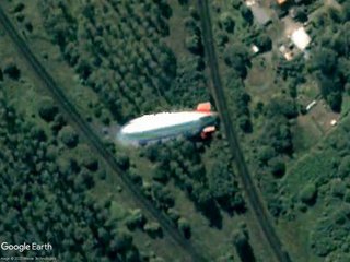
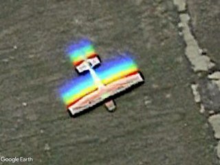
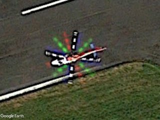
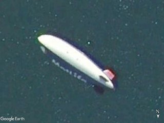
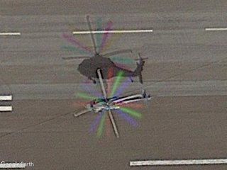
The collection is categorized by aircraft type and color-coded as such: Civil Aviation, Military Aviation, Helicopters, Aerostats (i.e. blimps and hot air balloons), Gliders (which only includes sailplanes, but not hangliders, paragliders, or parachutes), and Unmanned Aircraft (i.e. UAVs and Remote Control aircraft).
Finds all follow the same format. If there is a * at the end of the placemark title, it is a historical find, and only visible via timeslider. If there is a number at the start of the title (#x), it indicates multiple aircraft, such as "2x A-10 Thunderbolt II." In these cases, the placemark is positioned central to all aircraft: you may need to look around to find all the aircraft. If there is a number (x#) at the end of the title, it indicates multiple exposures (i.e. the same aircraft copied multiple times), such as "Boeing 747 (x3)."
In addition, there is a folder titled "Additional Categories," which follows the format of my "Streetview in Flight" collection, and contains a wide variety of information. There is an "Icon Key", which explains what each placemark icon means. There is a "Changelog", which will contain the best new finds from each new version. The "Airlines/Organizations" folder contains all aircraft that have an identifiable airline or organization they are a part of, with links to more information. If the airline is Dysfunctional (DF) (i.e. no longer exists) or has been Renamed (RN), it will be labeled as so, with the date this happened listed. Aircraft types are for identified aircraft, with links for more information. Gov Operators is for military/government organizations, such as the USAF. If a find has {TEXT} at the end of it, the TEXT is the abbreviation for the corresponding government operator in this folder. "Special Liveries" is for airliners in special livery and "Best of" highlights the very best finds in the collection.
Note 1: Date of imagery may be off by +/- one day, due to the way GE sets dates in different time zones.
Note 2: Updates of "lost" or updated imagery will only occur during whole number updates (2.0, 3.0, etc). Small updates (1.5, 1.6, etc) will be strictly for adding new finds.
For as long as there has been Google Earth, there have been aircraft spotters - you and I, looking for airplanes in flight in the satellite imagery available - and sharing our finds with each other. First came the Keyhole BBS forums, the original Google Earth Community. In 2006, Cyclonic created the forum thread, "All Aircraft in Flight", collecting aircraft finds from all comers and organizing them into a Google Earth collection.
Unfortunately, the Keyhole forums were closed (set to read-only) in May 2015, and the Google Earth Community, driven by volunteers, re-opened on a new website. Continuing on from Cyclonic's work, NormB resurrected the "All Aircraft in Flight" collection, maintaining it for over a year.
And that's where the collection has sat - forever frozen on March 2016. That is - until now: I, SpiderX22, will be continuing the collection in the future.
Unfortunately, the original Keyhole BBS forum are no longer available, as of 2019. The original forum was hosted on the Google Help forums, and when these forums migrated to new servers, the original Google Earth Community was left behind, with all the wonderful content contained on these servers lost. As such, determining the original finder for some of the placemarks in this collection was difficult - so I apologize if I messed some up.
It is important to note a key difference between this collection and prior collections. Previous collections included ALL Aircraft in flight. I will not do so, for ease of updates and continuity. There are over 20 years worth of imagery in Google Earth (accessible via the timeslider feature), and with over 5,000 planes in flight on a given day, there is no feasible way I can maintain a collection with so many finds. Maintaining the prior databases was a LOT of work - with over 3000 finds to go through and check for outdated imagery, the collections soon grew out of control and stopped being updated.
To maintain my sanity and ensure the collection continues many years into the future, I will be doing two major things. First, I will accept ALL finds that show aircraft visible in current imagery. Secondly, when the find becomes outdated (due to new imagery updates, I will keep only "good" finds, marked by a star (*) after the title of the placemark. When clicked, these files will automatically open the Google Earth timeslider and display the find in the historical imagery.
Obviously, it is subjective as to what is considered a "good" find and what isn't. When determining what to keep, I will be looking at three qualifiers, as outlined below. I will try to be as impartial as possible, but if I did not include your find in the historical imagery, feel free to message me and let me know that you'd like me to save your find and I will do so.
- 0. The Amount of Historical Imagery to Look Through
This is only applicable during the initial release (1.0), as I combed through over 3000 finds. Due to the amount of historical imagery available and the number of finds, I had to skip over some finds which had significant amounts of historical imagery and I was unable to find quickly. - 1. The Quality of the Imagery
How clear the imagery layer is and how much detail is visible. The clearer/more detailed, the more likely I will keep the find. - 2. The Rarity of the Find
How unique is the find? Is it a rare aircraft type? Are there multiple exposures? How far away from the nearest airport is it? These are all considerations I will take into account. - 3. The Proximity to Another Find
How close is this find to another find. I will typically only keep the best few finds from each airport, but this is the most flexible qualifier. If the aircraft is the only one in the area, I'm much more likely to keep it. Some finds on lower quality imagery will be kept due to being the only ones visible in their area.
The collection is categorized by aircraft type and color-coded as such: Civil Aviation, Military Aviation, Helicopters, Aerostats (i.e. blimps and hot air balloons), Gliders (which only includes sailplanes, but not hangliders, paragliders, or parachutes), and Unmanned Aircraft (i.e. UAVs and Remote Control aircraft).
Finds all follow the same format. If there is a * at the end of the placemark title, it is a historical find, and only visible via timeslider. If there is a number at the start of the title (#x), it indicates multiple aircraft, such as "2x A-10 Thunderbolt II." In these cases, the placemark is positioned central to all aircraft: you may need to look around to find all the aircraft. If there is a number (x#) at the end of the title, it indicates multiple exposures (i.e. the same aircraft copied multiple times), such as "Boeing 747 (x3)."
In addition, there is a folder titled "Additional Categories," which follows the format of my "Streetview in Flight" collection, and contains a wide variety of information. There is an "Icon Key", which explains what each placemark icon means. There is a "Changelog", which will contain the best new finds from each new version. The "Airlines/Organizations" folder contains all aircraft that have an identifiable airline or organization they are a part of, with links to more information. If the airline is Dysfunctional (DF) (i.e. no longer exists) or has been Renamed (RN), it will be labeled as so, with the date this happened listed. Aircraft types are for identified aircraft, with links for more information. Gov Operators is for military/government organizations, such as the USAF. If a find has {TEXT} at the end of it, the TEXT is the abbreviation for the corresponding government operator in this folder. "Special Liveries" is for airliners in special livery and "Best of" highlights the very best finds in the collection.
Note 1: Date of imagery may be off by +/- one day, due to the way GE sets dates in different time zones.
Note 2: Updates of "lost" or updated imagery will only occur during whole number updates (2.0, 3.0, etc). Small updates (1.5, 1.6, etc) will be strictly for adding new finds.
If you have found an aircraft in flight and would like it added to this collection, please post in this thread and I will add to the collection.
Edit Willi1:
In order not to let this thread go to sleep, the collective KMZ (in the OP) was updated in a simplified form.
Version 2.0 includes version 1.5 (categorized), the historical finds from RaveyThirteen's collection, and new finds as of March 28, 2021 (uncategorized). Last update images: Jan 08 2024


