Master Cartographer
April 2015 - Nov 15, 2024 17:10:22 GMT
|
Post by syzygy on Apr 29, 2019 7:53:31 GMT
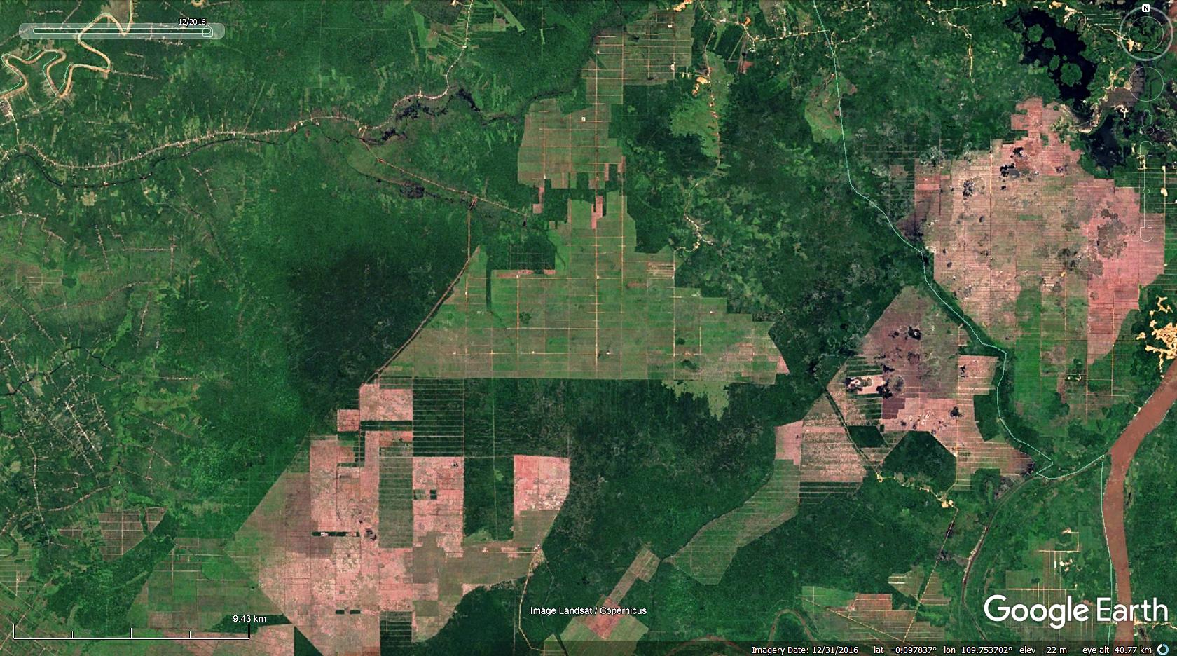
It was not a long way from intact natural forests to oil-palm monoculture in western Borneo as on GE imagery time sequence from 2009 to 2016 can be seen:  .  .  Palm-oil production with no mercy - a well known issue of our days, but this time I would like to ask about another sort of human activity around, that also seems to erase the original ecosystem, changing the whole surface forever as well. Besides the hundreds of square kilometers oil-palm monocultures, which has already made catastrophic human impact on natural forests with endangered species like Orangutans, I have spotted some other type of wounds of nature made by human in Borneo. Next South to a 200 km 2 sheet of oil-palm monoculture, 5X5 meters, square shape features cover the surface, multiplying each year:  Cover changes between 2012 - 2015: Cover changes between 2012 - 2015: -  Big-step view of the process also rather "instructive": intact forests with some clearcuts (1994) --- complete deforestation / "white plaque" start spreading (2002) --- scars of the process covers the whole area (2011):  -  -  Ecosystem Under Siege -Borneo.kmz Ecosystem Under Siege -Borneo.kmz (1.6 KB) Now could anyone tell me, what the checked hell is this? |
|


 .
. .
.

 -
-
 -
- -
-