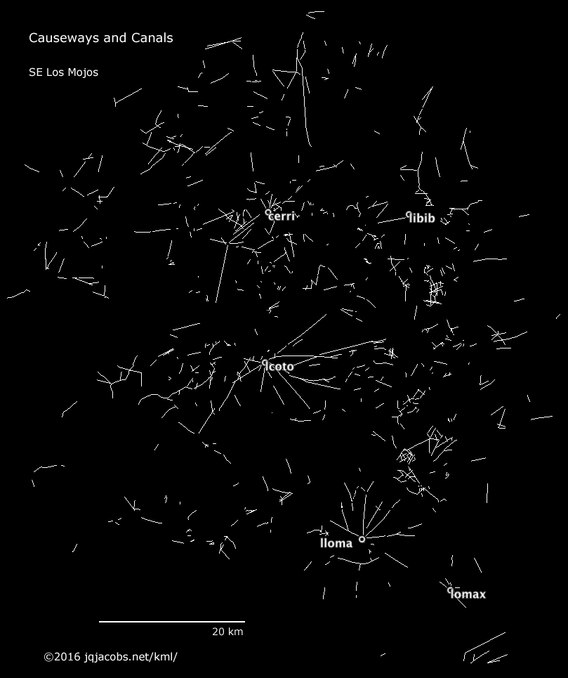
Researching the Amazon Geoglyphs led to similar geometric works further south, in Bolivia, where a variety of anthropogenic modifications of landscape are plainly visible in Google Earth where hi-res updates are available. One region without geometric works, Llanos de Mojos, nonetheless has a massive amount of earth moving in the form of causeways and canals as well as earthen mounds. It is also quite a massive chore to research and document. I'm still not done doing that, but here is one multigeometry placemark showing major causeways/canals in the southeast portion of the flood plains. I used a black background overlay image to capture this graphic: