Junior Member
October 2015 - Oct 31, 2024 19:10:15 GMT
|
Post by JacobBogle on Apr 9, 2016 3:22:15 GMT
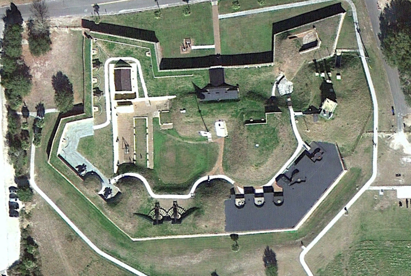
This is part of the " Fortress Earth" mapping project which seeks to mark every Google Earth-visible extant fort and castle (that had some legitimate military purpose at some point) that was built or in use between 1000 AD and 1950. This file contains 413 forts, batteries, and other fortifications in the United States and Puerto Rico. Many placemarks have relevant Wikipedia links too. If I missed a fort please let me know! USA_FortressEarth_V1_4-8-16.kmz (31.09 KB) Fort Negley, TN, 1862-65 ort Moultrie, SC, 1776-1946
|
|