Master Cartographer
April 2015 - Apr 29, 2024 4:57:55 GMT
|
Post by syzygy on Sept 14, 2023 6:31:39 GMT
... A cheerful turtle exactly! ( :
|
|
Master Gamer
April 2018 - Apr 28, 2024 20:00:53 GMT
|
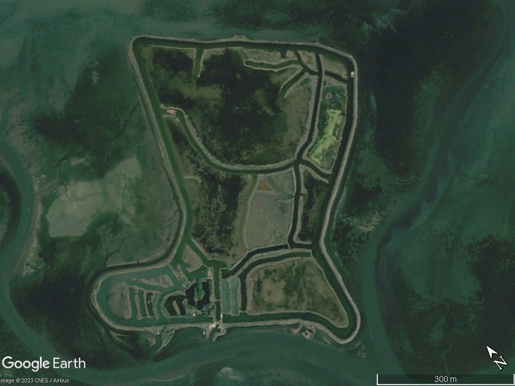
Post by willi1 on Dec 22, 2023 17:12:24 GMT
A boot with spikes (Good for Santa!)
45.722658° 13.363266°
|
|
Master Cartographer
April 2015 - Apr 29, 2024 4:57:55 GMT
|
Post by syzygy on Apr 8, 2024 22:11:29 GMT
If I would ever change my avatar then I would change to this one.  "Happy Old Rock" Complex layered rock formation naked by erosion in beautiful, mild colors captured by satellite, 4.5 kilometers to NNE of Gora Akmaya, at the edge of the Ustyurt Plateau. Karakiya District, Mangystau Region, Kazakhstan (series - Nr.26*) -- Coordinates: 42°47'00"N, 54°06'32"E Imagery date: 6/2023 (Google Earth / Airbus) Dimensions of the "Face": 110X150X15 meters (enhanced image) -- Related read: Ustyurt Nature Reserve contains a big variety of landscapes, from steppes and depressions to pillars reaching several hundred metres in height. The pillars can be several colours, including pale pink, blue and dazzling white. The vast Kenderlisor depression spans the entire length of the reserve, from the southwest to the northeast. Shakhr-i-Vazir, an ancient city, also lies in the reserve, along with dozens of Neolithic sites. / source: wikipedia -- *Previously posted on Instagram as part of a longer series about the area. |
|