Master Cartographer
April 2015 - Nov 21, 2024 8:06:11 GMT
|
Post by syzygy on Apr 29, 2019 13:45:37 GMT
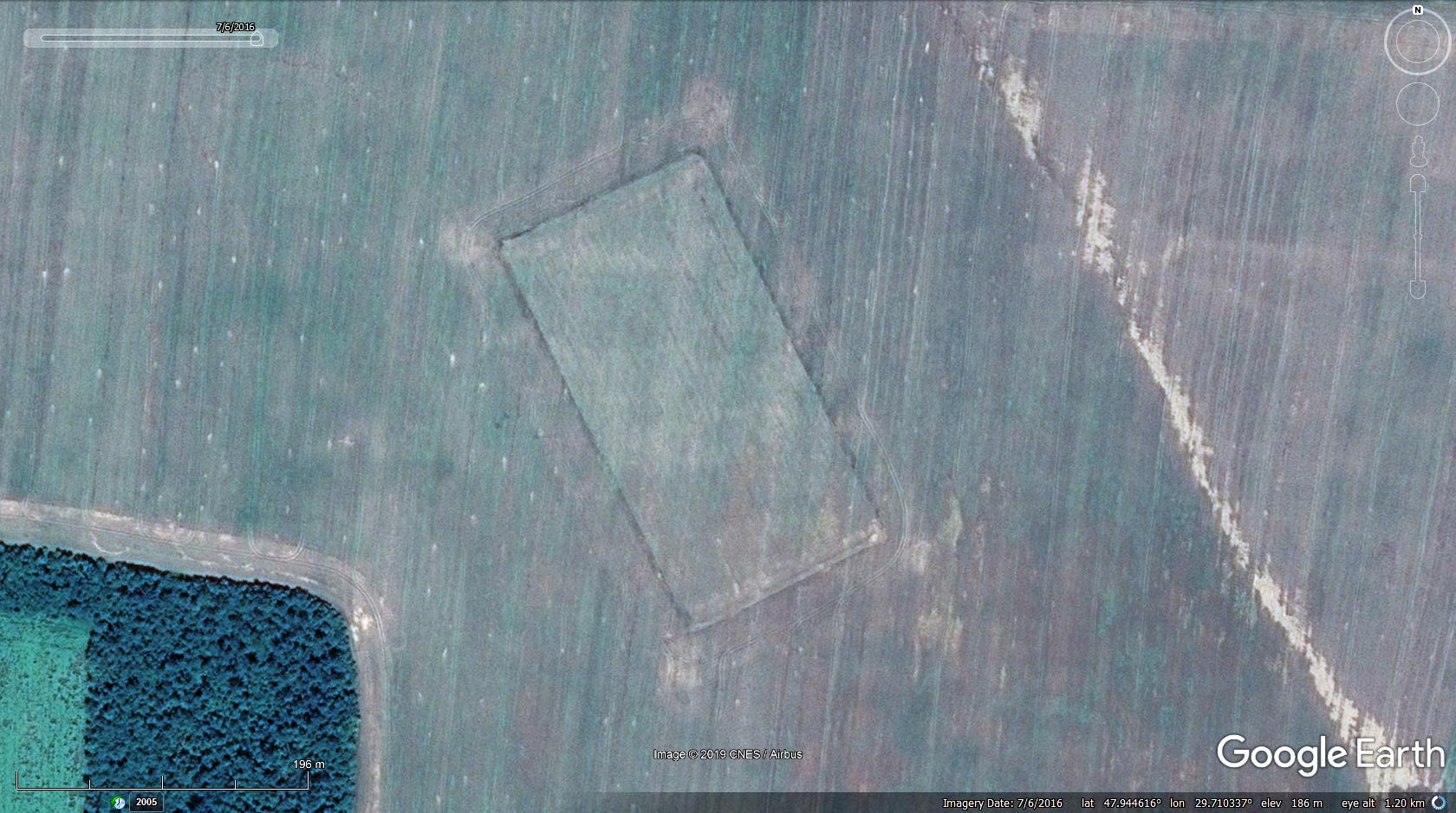
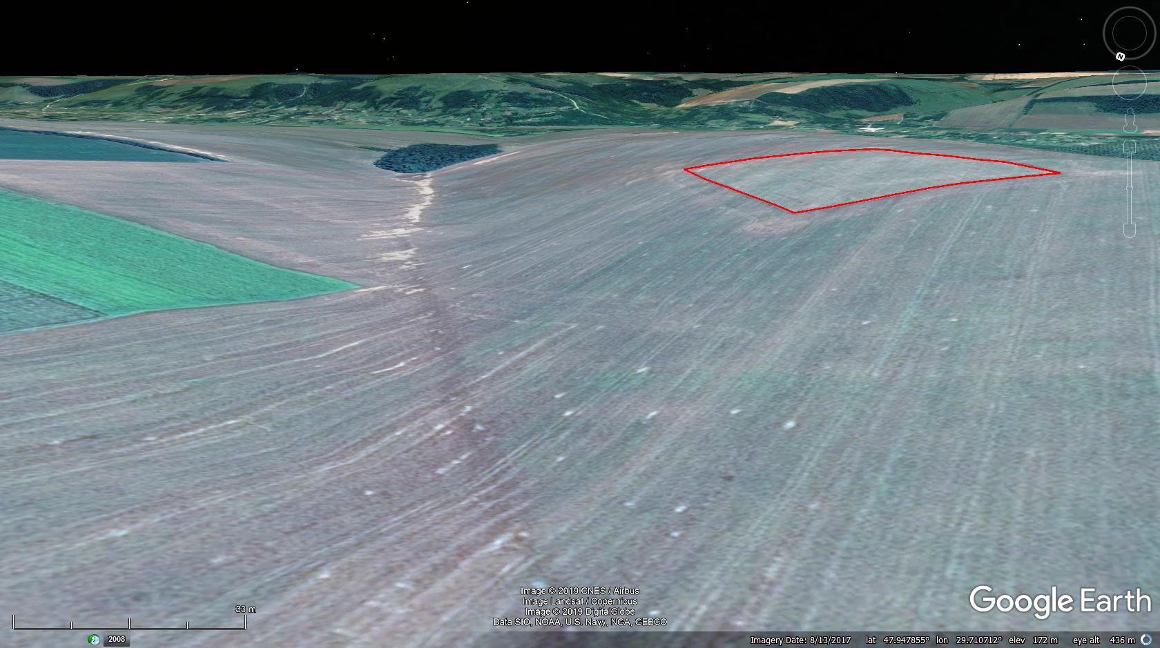
At first glance I have found no acceptable explanation for why to change direction of tillage on a 4 hectares inclusion parcell within a large block of agricultural unit.  Probably some anti-erosion experiment as being situated on a bank-slope of an ancient waterflow. - Check GE tilted view by elevation exaggeration level 2-3:  Preventing erosion on agricultural lands with surface gradient above 12%, tillage direction is recommended to be perpendicular to the slope direction. (As per applicable agricultural regulations in Hungary.) agrarian riddle - Ukraine.kmz (1.14 KB) Any other explanation anyone? |
|
March 2015 - May 1, 2023 4:20:37 GMT
|
Post by diane9247 on May 6, 2019 10:21:37 GMT
That makes sense, I guess, but I can imagine farmers being really annoyed by the extra work of this rule.  I have no idea if there is a similar one in the USA. |
|
Master Cartographer
April 2015 - Nov 21, 2024 8:06:11 GMT
|
Post by syzygy on Jun 26, 2019 10:36:31 GMT
another one with strange soil color pattern as seen on GMaps imagery - (better views in GE historical imagery!) I think it is about water runoff blocking, therefore result of another anti-erosion method (?) |
|


 I have no idea if there is a similar one in the USA.