Master Cartographer
April 2015 - Nov 25, 2024 9:27:55 GMT
|
Post by syzygy on May 13, 2016 11:21:02 GMT
Repost from oGEC
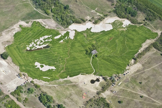
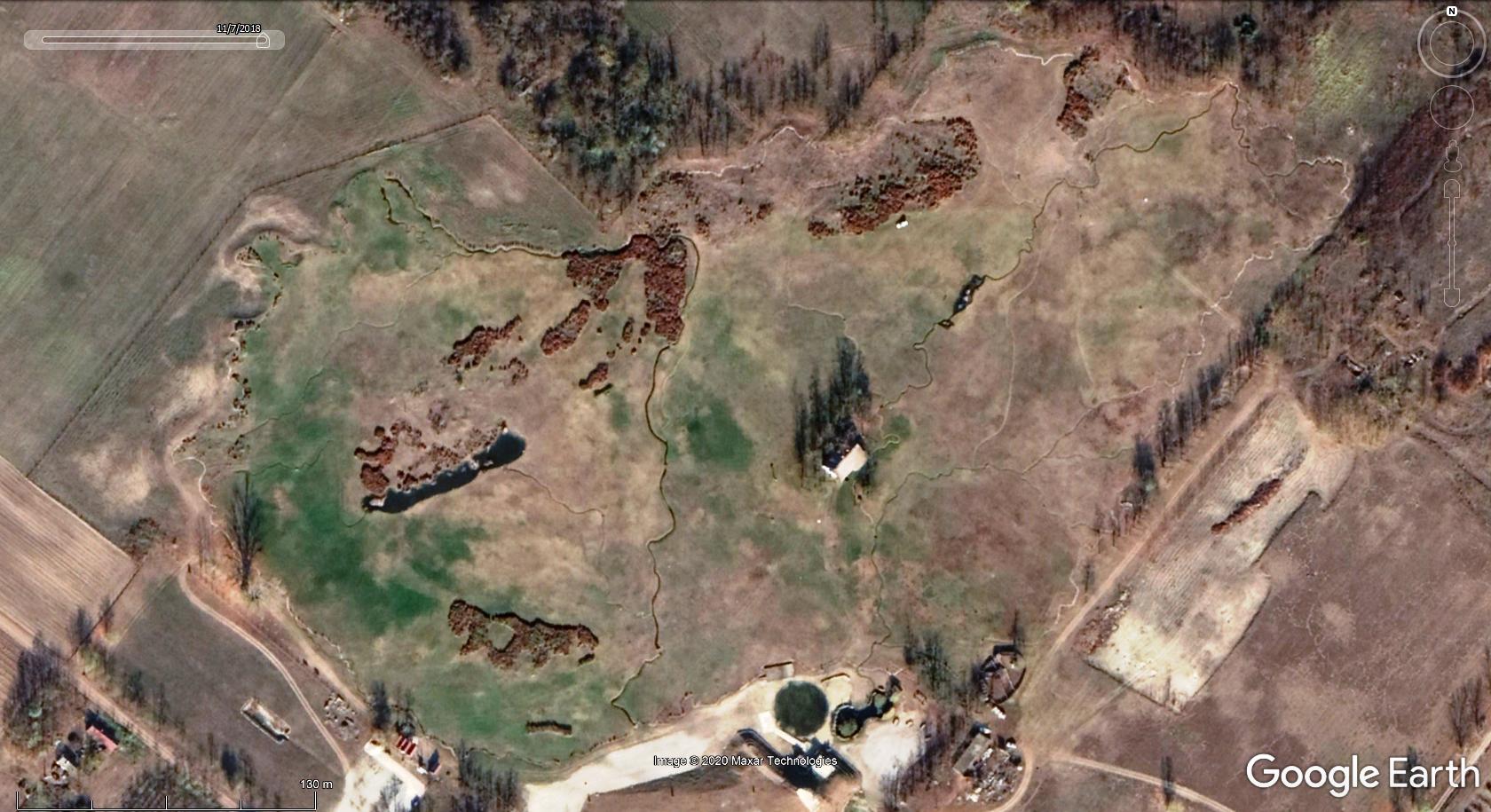
EDIT 2013.02.20.: area can be seen best on updated GE imagery, also worth check time slider! (aerial photo angle not best to fit overlay well)
93.000 m2 botanical garden - 3d model of hungary near jakabszállás  © MTI Fotó: Ujvári Sándor - source (hungarian)  2018 imagery GE screenshot of the site project details: 50.000 m3 earthwork, 1200 m3 stone and pebbles, 22.000 m2 geotextile, 8000 m2 lake bed foil, 140.000 saplings, 12 km tourist route, 79.000 m2 grass, 10.000 water-garden plants, 8 wells, 7.000 m2 water surface, 3.200 settlements signed with various plants (trees?) more details in hungarian from baon.hu minimagyarorszag.kmz (625 B)
|
|
Master Cartographer
April 2015 - Nov 25, 2024 9:27:55 GMT
|
Post by syzygy on Jun 6, 2016 12:43:01 GMT
Nearly have forgotten the hungarian architectural treasures - outdoor model park at Mórahalom.  More good photos here: szegedma.hu and something on YouTube (7:39)
(Photo layer supply: poor) *** While searching for sources I have bumped also into another similar theme park at Szarvas, so decided to create attached kmz file folder in the hope that even more exist.  source galleryThis latter site is part of the Szarvas Arboretum botanical garden and its own website equipped with some better english version, so I quote here a short text from the main-page:  Kmz file attached below also contains hotlinked aerial photo overlay of this site. (Photo layer supply: high) Mock-up Hungariae.kmz (1.75 KB) |
|


