

Post by washi on Apr 16, 2015 1:40:34 GMT
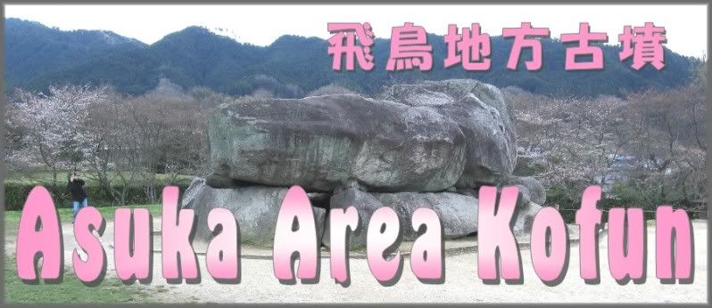
Many of the imperial palaces in the 7th century and latter 6th century were located in Asuka, a beautiful area of low hills and valleys in the south end of the Nara Basin. The area gives its name to the period of Japanese history when Buddhism was first introduced, but it was also characterized by many other cultural borrowings and significant native cultural achievements. There are many late period kofun in this vicinity, some of them dating even to the early 8th century, when cremation and temple interment completely replaced burial.
I first posted this folder in the Spring of 2007, when the area was visible only in low resolution imagery, and the location of the placemarks required equal parts of imagination and Google Maps, which was not as yet conveniently linked in Google Earth, but the removal of the famous murals at Takamatsu Zuka Kofun had been the subject of many news stories, and I thought that story was worth posting. I did a small revision in the fall of 2009, when the area became visible in medium resolution. The last sliver of fuzzy imagery in this area is finally gone. Archeological research in this area where the national state was born is very active.
Maru Yama Kofun, although one of the largest in Japan, has been considerably degraded over the centuries, so an overlay showing the original size and shape has also been included.
 Download File
File last revised April 16, 2015.

