Full Member
November 2015 - Nov 27, 2015 21:55:18 GMT
|
Post by archaeo on Feb 4, 2018 19:26:56 GMT
In Google Earth, the Panoramio images are gone. I embedded about 4,500 of the very best archaeology photos from all around the world in my placemarks. Attached is that latest version with the placemarks. It was too large to attach as a KML, so I saved as a KMZ. archaeogeodesy_v2018.02.04.kmz (2.47 MB) The Panoramio photos still display in my placemarks, to my surprise given the layer is gone in Google Earth. My questions: How long will they remain? Or, did I delete 4,500 embedded photos and update my domain unnecessarily?
I have no idea when they might disappear. If you want a visual not-so-short course in archaeology, get it while you can. I'm hoping the moderators here have the answers. Thanks. JQ www.jqjacobs.net/kml/ |
|
March 2015 - Jan 23, 2023 9:58:32 GMT
|
Post by Admin on Feb 4, 2018 19:33:36 GMT
Frequently-asked questions
What happened to my Panoramio data?
If your Panoramio profile was linked with your Google account, then all your Panoramio photos are being copied to your Google Album Archive at full resolution (this could take a few weeks). All other data has been permanently deleted. Will my Panoramio photos continue to appear in Google Earth and Google Maps?
If your Panoramio photos were appearing in Google Maps with the name of your Google Account, then they will continue to appear along with their original view counts. If they were only attributed to your Panoramio username, they will no longer appear. You can view and manage photos by signing in to Google Maps and accessing the Contributions screen from the main menu. Is there any way to keep posting photos to Google Earth and Google Maps?
Yes - to keep adding photos to Google Maps and engage with a growing community of photographers, join the Local Guides program. You can earn points and unlock rewards for photos submitted with a Google account when they are linked to a point of interest or business. LOCAL guides link
|
|
Full Member
November 2015 - Nov 27, 2015 21:55:18 GMT
|
Post by archaeo on Feb 4, 2018 19:53:22 GMT
|
|
Full Member
November 2015 - Nov 27, 2015 21:55:18 GMT
|
Post by archaeo on Feb 5, 2018 15:03:11 GMT
|
|
Full Member
November 2015 - Nov 27, 2015 21:55:18 GMT
|
Post by archaeo on Oct 5, 2021 15:59:10 GMT
A few years have past and my questions have been answered. What Google has done is basically privatized the images, making them accessible within their application only, monetizing what we Panoramio members shared openly with the whole world.
A lot of the images are still visible in the Photos layer, they are just renamed and rehosted. The numbers are the same as before, very useful fact, but all the file names are modified with the same prefix "panoramio-xxxxx.jpg. If you copy just the number portion, the old Panoramio image name only, you may find the original Panoramio image page in the Web Archive. I've re-embedded some of the photos in my placemarks from this source. Huge shout out to the Web Archive folks for backing up Panoramio, they had a whole team working on just this domain before it was erased by Google. Anyway, just place this URL in the Web Archive search window with the number you substitute for the xxxxx: www.panoramio.com/photo/xxxxx. Sometimes the result is "not found" even though the page is there, so look for a link to the number of times the web page was captured. Also, when multiple captures are presented, select the 2016 capture as first and best option.
Once on a Panoramio page in the Web Archive, you'll find the pages are not always fully functional. If you view a group of photos by a person and can't surf to the next or previous "More photos by John Doe," go to the first or last photo and surf in the desired direction one photo and then click "More photos by John Doe" there. This photo www.panoramio.com/photo/68925017 for example is part of La Cuca Suarez's page 84, web.archive.org/web/20161019183122/http://www.panoramio.com/user/205963?with_photo_id=68925017, and if you click 85 the link works. When that function fails, use the method above. Sometimes the tag links work, sometimes not. These are rather useful for archaeology or other topical research.
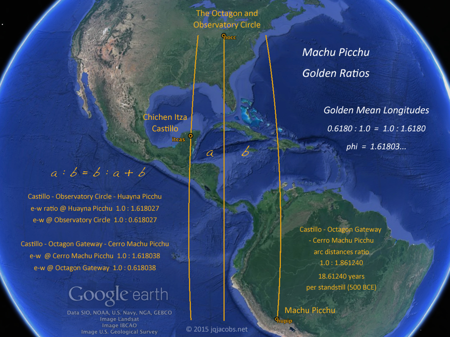
To see some of the photos I've re-embedded in placemarks, one option is the updated Machupicchu Sites KML which embeds numerous photos in most of the placemarks. I add the updated placemarks to my main Ancient Monuments file periodically also. It is tedious work so don't expect 5,000 images to suddenly reappear.
Feel free to capture my balloon code if you wish to embed photos in your placemarks.
On a related note for researchers trying to define coordinates of monuments accurately, more and more GPX files by hikers keep getting posted online, often with photos. One domain I've found useful is wikiloc.com. Also, you can search by filetype:gpx in Google. These trekking tracks lead you to places with precise GPS waypoints. I crowdsourced some of the Machupicchu placemarks this way with up to 30 different tracks to overcome the margin of error in Google Earth due to satellite view angle in steep terrain.
|
|


