

Post by washi on Apr 8, 2015 4:53:13 GMT
For most of its existence, worship at Ise Grand Shrine was the prerogative of the aristocracy, particularly the imperial family, from which its head priestess was chosen, but by the Edo Period (1600 - 1868) the general population also began to make the journey. After the centuries of civil war ended, travel was not only safer, but the increased economic stability created the surplus wealth needed to make the trip. These travelers were going to worship, but the trips also took on the character of a travel adventure.
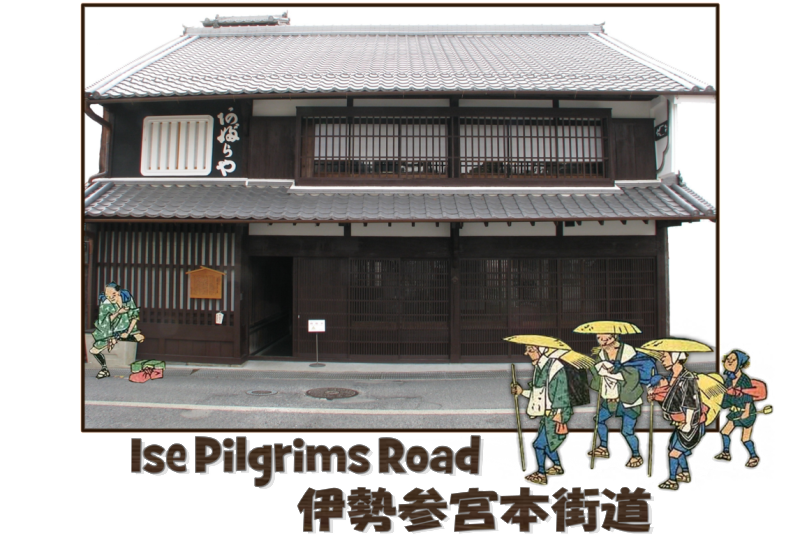
In the Edo Period, an estimated five million people a year made the trip to Ise. Many of these people came from eastern Japan, but a substantial percent of them walked from Osaka and western Japan. The departure point from Osaka was the Tamatsukuri area, and the traditional gathering point for these pilgrims was Tamatsukuri Inari Shrine, somewhat similar to the way that Chaucer's pilgrims gathered at the Tabard Inn to form groups for their mutual support, amusement, and safety.
The shrine continues to attract millions of visitors. Most of them, of course, use modern modes of transportation to get there, but there are still a few in this health conscious society who prefer to walk (albeit, often in stages). It is for them that the shrine has published a booklet of maps detailing the path of the walking road. I set about to mark this route in Google Earth. I also created four placemarks on the beginning and end points of their journey. Because I did not wish to create extraneous content in the GEC Layer, much of the content of this post is downloadable from the file attached below. This includes a tour of the route, placemarks which indicate shukuba, (probable places where foot travels could find lodging), and major mountain passes. There is considerable content in the route path, which may be accessed by clicking on it. Finally, there is a second part of the presentation, which is a clickable overlay map showing the major roads used to travel to Ise during the Edo Period.
I wish to thank my neighbor Mrs. Kanda for providing me with the maps which got this project started; my friend Ross, who has a personal interest in much of the content and who caught many errors as he read it in various stages of completion; Mr. Shōji Tsuchiya for giving me permission to host his model of the Hondō of Naikū and allowing me to relocate it later this year when the building reconstruction is completed; Mr. Nobuhiro Suzuki of Tamatsukuri Shrine, for answering numerous questions and giving me permission to use illustrations published in shrine publications; and finally, Mr. Andō Hiroshige, for inspiration, and for being dead long enough so I could legally steal some of his good stuff.
(The map in part 2 is based on a map contained in the booklet, but the copyright is not controlled by the shrine, and failing to contact the copyright owner, I have made my own map based on it.)

Last revised March 11, 2023.


