Master Cartographer
April 2015 - Nov 22, 2024 20:10:39 GMT
|
Post by syzygy on Jun 13, 2017 7:51:09 GMT
Sad remains of a recent war, dreadful monuments of an ethnic conflict between Armenian and Azerbaijani people, hallmarked by the name: Nagorno-Karabakh. In this first post I share my related findings from Azerbaijan: Ghost Towns.kmz (4.53 KB) Keep Photo Layer On! (No more... at least Panoramio does not exist anymore)  Related from oGEC:8 Abandoned "Ghost " Towns Related from oGEC:8 Abandoned "Ghost " Towns by our unforgetable Danescombe These are from all around the World. Agdam, Azerbaijan is included and switching GE GEC layer on, the quoted text below can be read as an interesting addition to the ruin site: |
|
Trusted Member
Master Gamer
April 2015 - Sept 6, 2023 12:33:10 GMT
|
Post by bridgeplayer on Sept 20, 2017 21:40:21 GMT
Quite dramatic.
|
|
Master Cartographer
April 2015 - Nov 22, 2024 20:10:39 GMT
|
Post by syzygy on Dec 14, 2018 9:56:30 GMT
|
|
Master Cartographer
April 2015 - Nov 22, 2024 20:10:39 GMT
|
Post by syzygy on Mar 21, 2019 18:33:48 GMT
Bayzhigit - abandoned for unknown reason, from unknown date.  Bayzhigit abandoned.kmz Bayzhigit abandoned.kmz (707 B) and many more sad examples from the endless steppe of Kazakhstan. e.g.: Malye Kamkaly - almost every building stands roofless: 44°44'18.46"N, 71°30'55.23"E Whaz happening? |
|
Master Cartographer
April 2015 - Nov 22, 2024 20:10:39 GMT
|
Post by syzygy on Feb 14, 2020 12:22:11 GMT
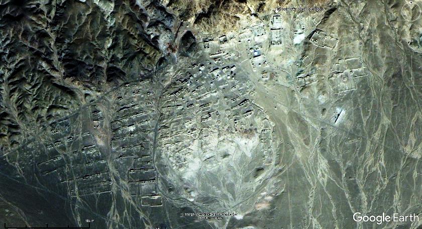
Interesting, there is a quite the same size inhabited settlement 3 kilometers to NW.  ghost town - Niger.kmz ghost town - Niger.kmz (762 B) |
|
Master Cartographer
April 2015 - Nov 22, 2024 20:10:39 GMT
|
Post by syzygy on May 10, 2021 8:16:09 GMT
No content for the site in GE layers, but some can be found on GMaps. Abandoned settlement with active yurts and the site of "Olgii (Buddhist) Monastery". (I think it is that intact building just below my placemark.)  Also I have added two links to placemark description: A GSearch results page for the cyrillic GMaps placemark and one of the results - mongoliantemples.org (mongolian / cyrillic) Ghost town Olgii Mongolia.kmz (970 B) |
|
Master Cartographer
April 2015 - Nov 22, 2024 20:10:39 GMT
|
Post by syzygy on Oct 18, 2021 9:06:29 GMT
|
|
Master Gamer
April 2018 - Nov 22, 2024 19:36:56 GMT
|
Post by willi1 on Nov 28, 2023 11:31:12 GMT
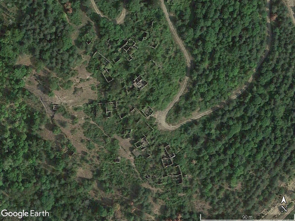
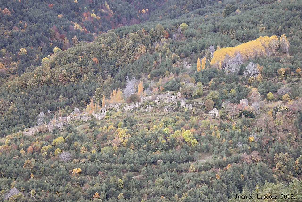
Ceresuela is a Spanish town in the Pyrenees and has been depopulated for over 100 years. 42.550340° 0.004441°
|
|
Master Gamer
April 2018 - Nov 22, 2024 19:36:56 GMT
|
Post by willi1 on Nov 15, 2024 20:57:23 GMT
Chacabuco is an abandoned nitrate or "saltpeter" town ("oficinas salitreras" in Spanish) in the Atacama Desert in northern Chile. Chacabuco became a concentration camp during the Pinochet regime in 1973. Chacabuco was founded in 1924 by the Lautaro Nitrate Company Ltd. and had over a thousand inhabitants. It closed its doors in 1938 because synthetic nitrate, invented in Germany, made saltpeter mining unprofitable. Attachments:Chacabuco.kmz (688 B)
|
|


